© 2009 by Kathleen Kemsley, first published in Rider Magazine, Feb. 2010
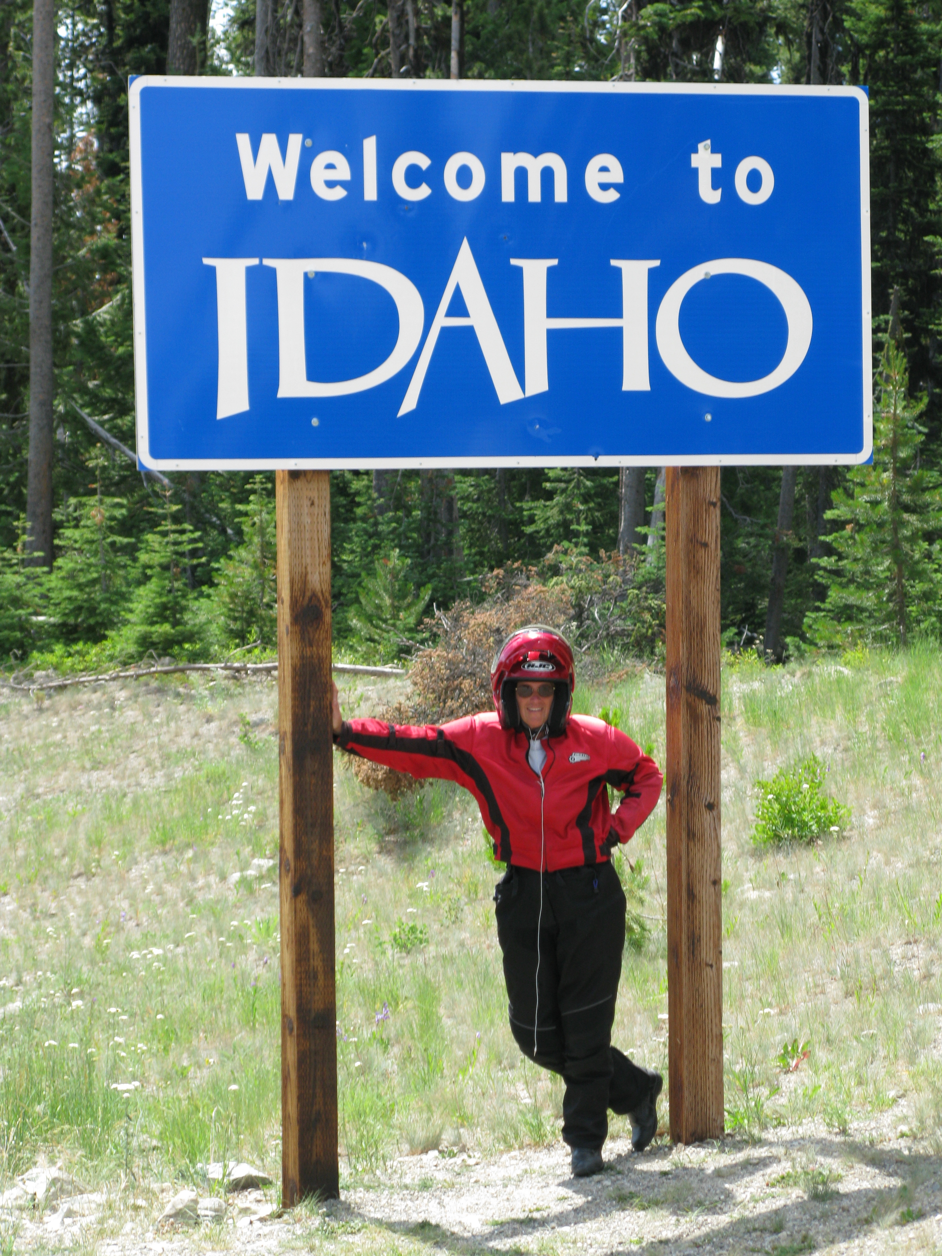
Idaho is a beautiful state, its attractions numerous. However, the Gem State’s image needs some polishing. In many people’s minds, the name “Idaho” still conjures up visions of overall-clad country boys hauling trucks full of potatoes. 
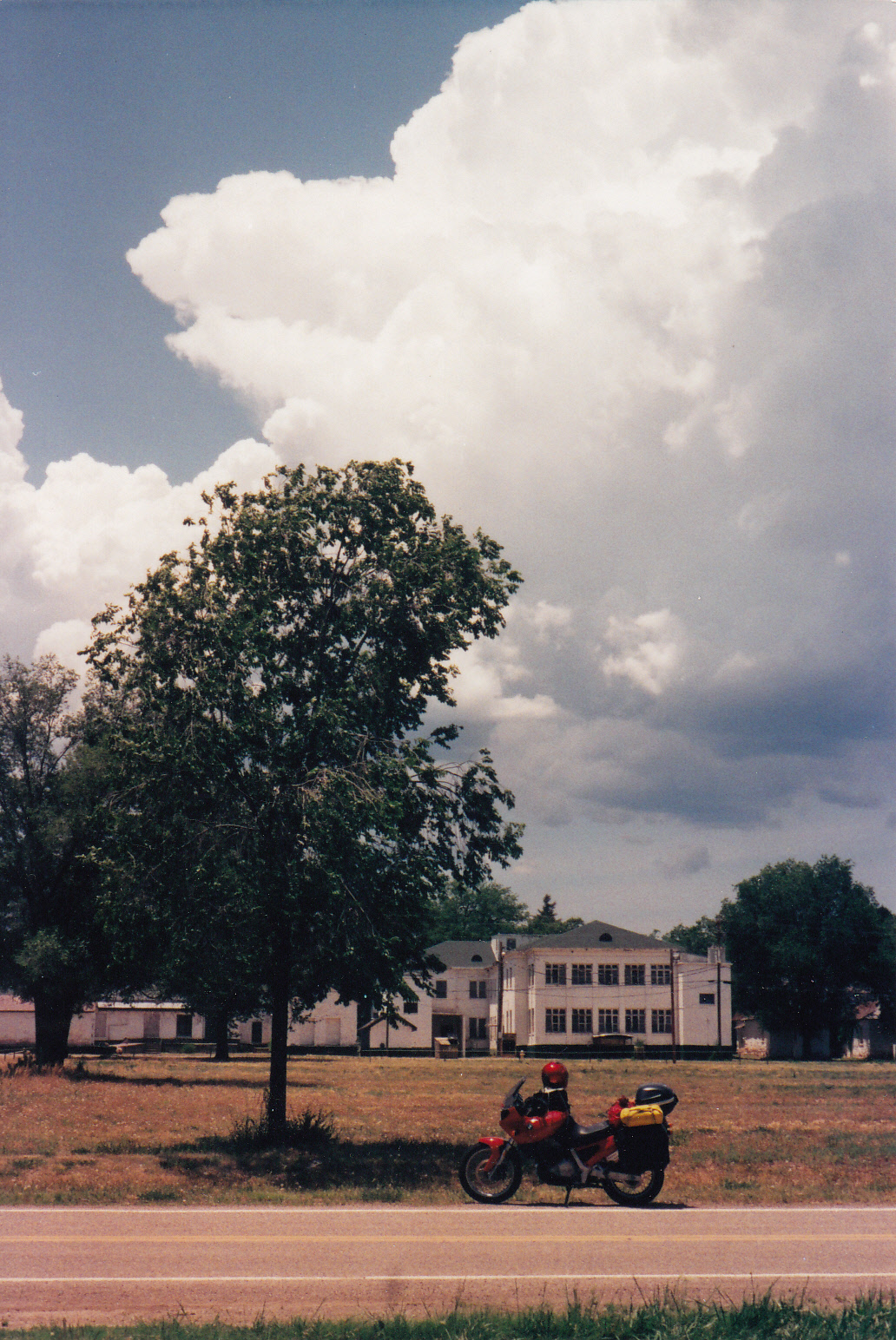
Having once resided in Idaho, I know better. My husband and I headed north on our motorcycles in August 2008, to explore some of the state’s asphalt gems. We followed several of Idaho’s 27 scenic byways, taking in some spectacular country along the way.
I’ve always been an enthusiastic, if not pitch-perfect, singer inside my helmet. Since I purchased an i-pod the year before and loaded it with 800 of my favorite songs, this ride along Idaho’s most scenic routes represented an opportunity for me to enjoy a sound track during each day’s ride.
So, in an effort to promote Idaho as a gem of a motorcycling destination, I offer a David Letterman-style list: “Top Ten Reasons to Ride and Sing in Idaho.”
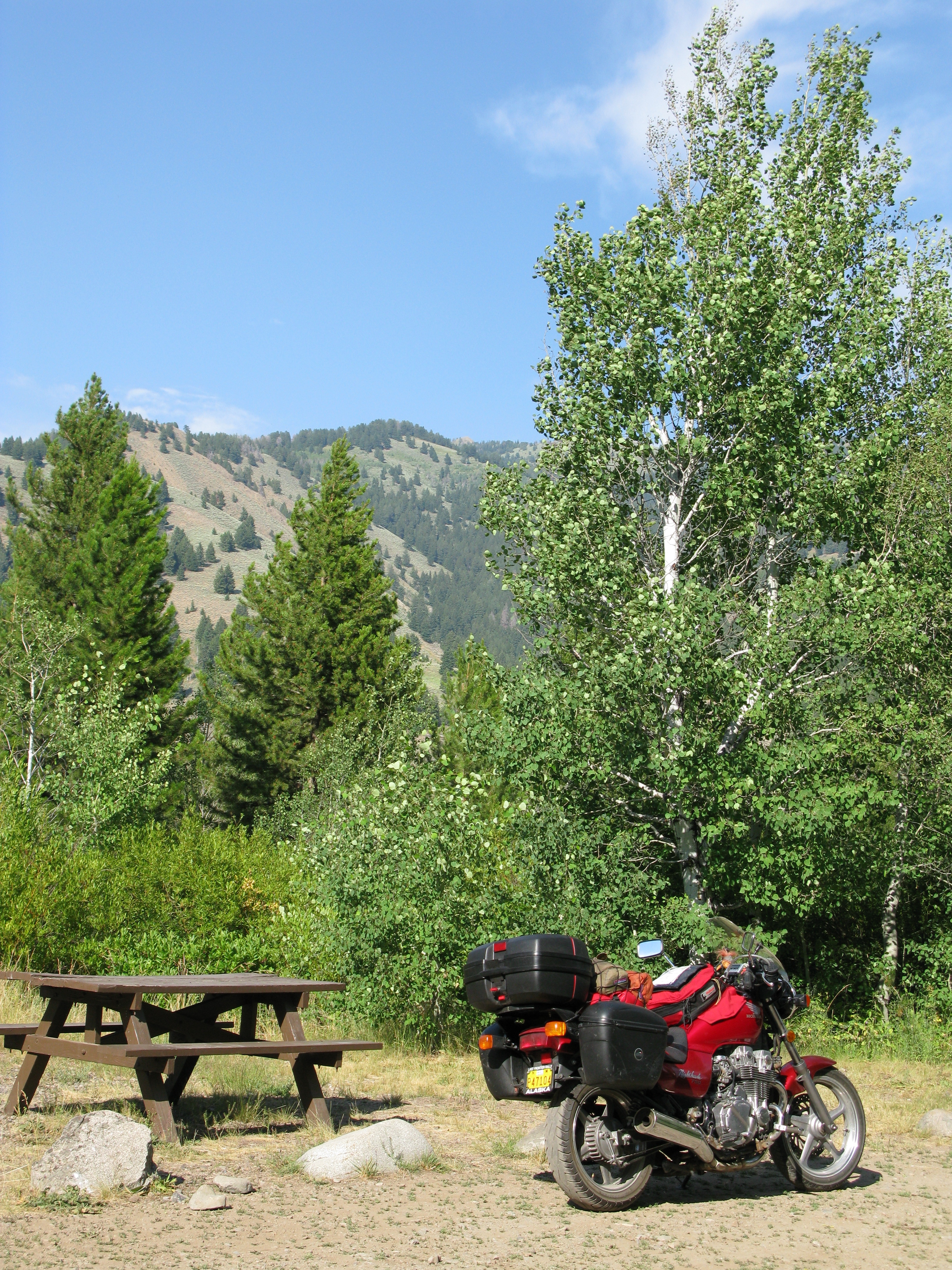
10. USFS campgrounds
Late afternoon of the first day in Idaho, we stopped at the Riverside RV Park and Campground in Bellevue, near the twin upscale ski hamlets of Hailey and Ketchum. The owner wanted $18 for the privilege of pitching a tent in the dirt. No picnic table was offered, no shade, no grass. But, he was quick to point out, wi-fi was available. When I expressed dismay, he scolded me, “Lady, don’t you realize that you’re in the high rent district!” 
Deciding to move on, then, was fairly easy. Tom Petty and I sang “Don’t Come Around Here No More” as we proceeded north eight miles past Ketchum to the U. S. Forest Service’s North Fork campground. There, $10 bought us a pretty, tree-shaded campsite alongside the Big Wood River. Despite the fact that it was a mid-summer Saturday, the campground was only half full. No wi-fi, but the sound of breeze fluttering aspen leaves more than compensated.
- Steep rugged terrain
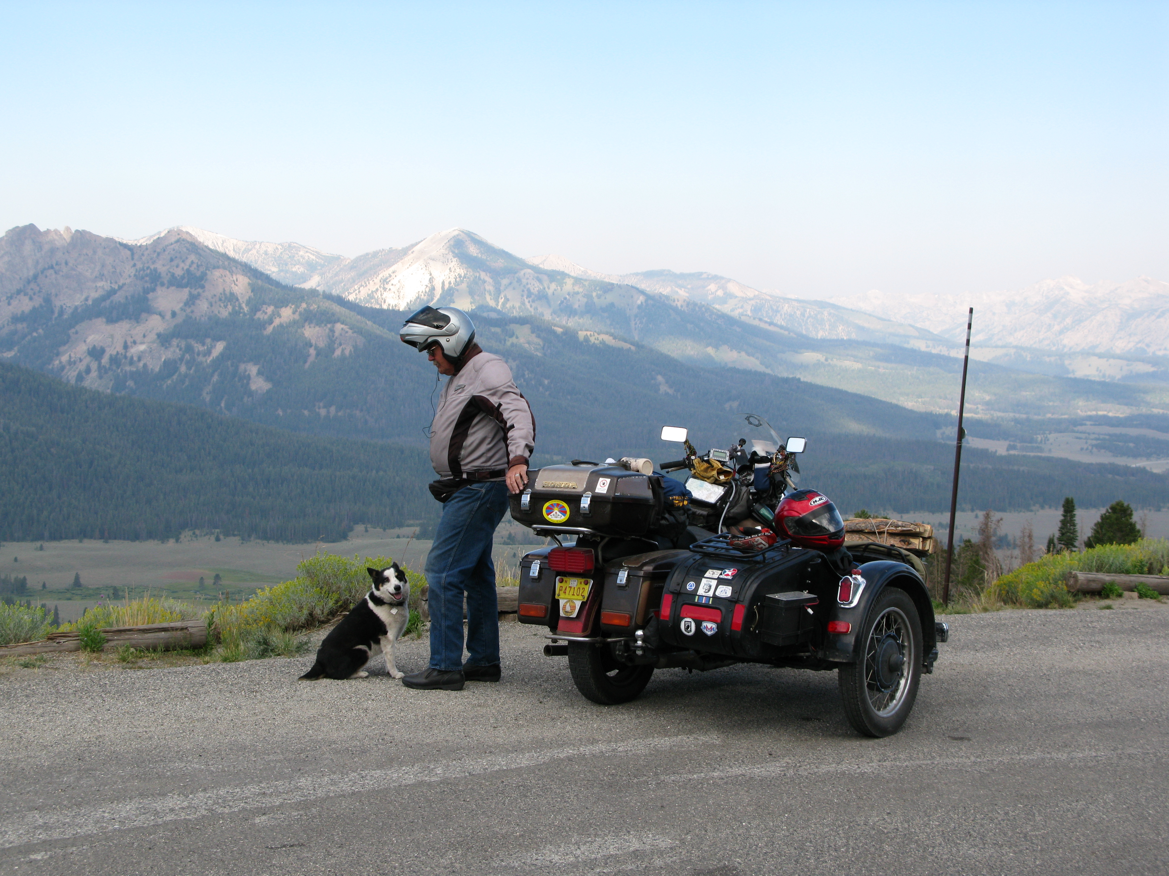
Departing the North Fork campground, the Sawtooth Scenic Byway followed the Big Wood River north to Galena Summit. There a conveniently located pullout provided the opportunity to admire a stunning view of the Sawtooth Range.
 In my work as a wildfire dispatcher, we use the phrase, “steep, rugged terrain” to describe this kind of country. Fire crews dread assignments on the 60% slopes. But for a motorcyclist, the twisty roads that weave through these mountains are divine.
We turned from the Sawtooths west onto the Ponderosa Pine Scenic Byway. An appropriate mood was established by “The Mountains Win Again,” a sweet, sad song by the late Bobby Sheehan of Blues Traveler. The road glided over Banner Summit. Mountains nearly vertical rose on both sides of a highway shrouded in shadow. Pensive, lost in thought, I leaned into a road that twisted like knotted rope through the heart of Idaho.
- Coffee
During the winter months, Stanley takes the honors as the coldest place in the lower 48 almost as often as does International Falls, MN. But in the summer, the tiny town at a crossroads in the middle of nowhere turns into a beehive of activity, as whitewater rafters, trail riders, campers, and day-trippers from Boise all stop to replenish supplies. I joined the procession into the general store, in pursuit of coffee.
Apparently the grocery supply truck was late, or perhaps a group from Seattle had recently passed through. Whatever the reason, the coffee shelf was bare. Dejected, I started west on Highway 21 wracking my brain for the next place where good coffee might be available… McCall? Lewiston?
As Bob Dylan warbled “One More Cup of Coffee for the Road,” I spied a microscopic café out of the corner of my eye. Pulling a quick U turn, I coasted down a steep driveway and sauntered in to the business with my helmet still on. Score! The Trillium Coffee House sold me a pound of beans, roasted in Hailey, for less than ten bucks. They also offered a wi-fi connection for free. Take that, Riverside RV Park!
- Hot springs
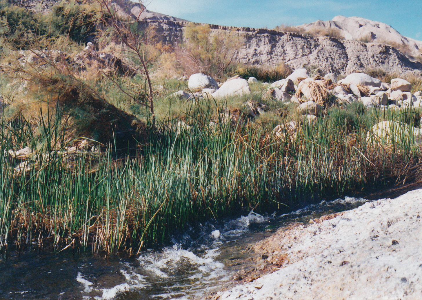
 Idaho is situated over a lot of hot water. During the years I lived in Idaho, I used to head out nearly every weekend to one or another of the hot springs tucked into remote corners of Idaho. I have my favorites; every Idahoan does. The location of a couple of them (one in particular) I will not under any circumstances divulge. But there are others more public that I don’t mind recommending to everybody.
A standout on the list of public hot springs, Kirkham is both visually attractive and easily accessible by motorcycle. Located along Highway 21, just a few miles east of Lowman, Kirkham’s springs emerge in several separate flows from a steep hillside above the Payette River. At the USFS parking lot, I paid my $3 fee, changed into a bathing suit and was down a flight of wooden steps to the springs in five minutes.
Sinking into hot water up to my neck in one of several bathtub-sized hot pools felt like heaven. Annie Lennox’s song of gratitude came to mind: “I thank You for the air to breathe, the heart to beat, the eyes to see again. A thousand beautiful things.” Presently I roused myself and progressed to a cooler pool below, separated from the river by a hand-built rock wall. Lastly, I stood beneath a hot waterfall, where sparkling 106 degree water cascaded onto my shoulders and administered a deep massage. Aaaahhhhhh.
- Wild Rivers
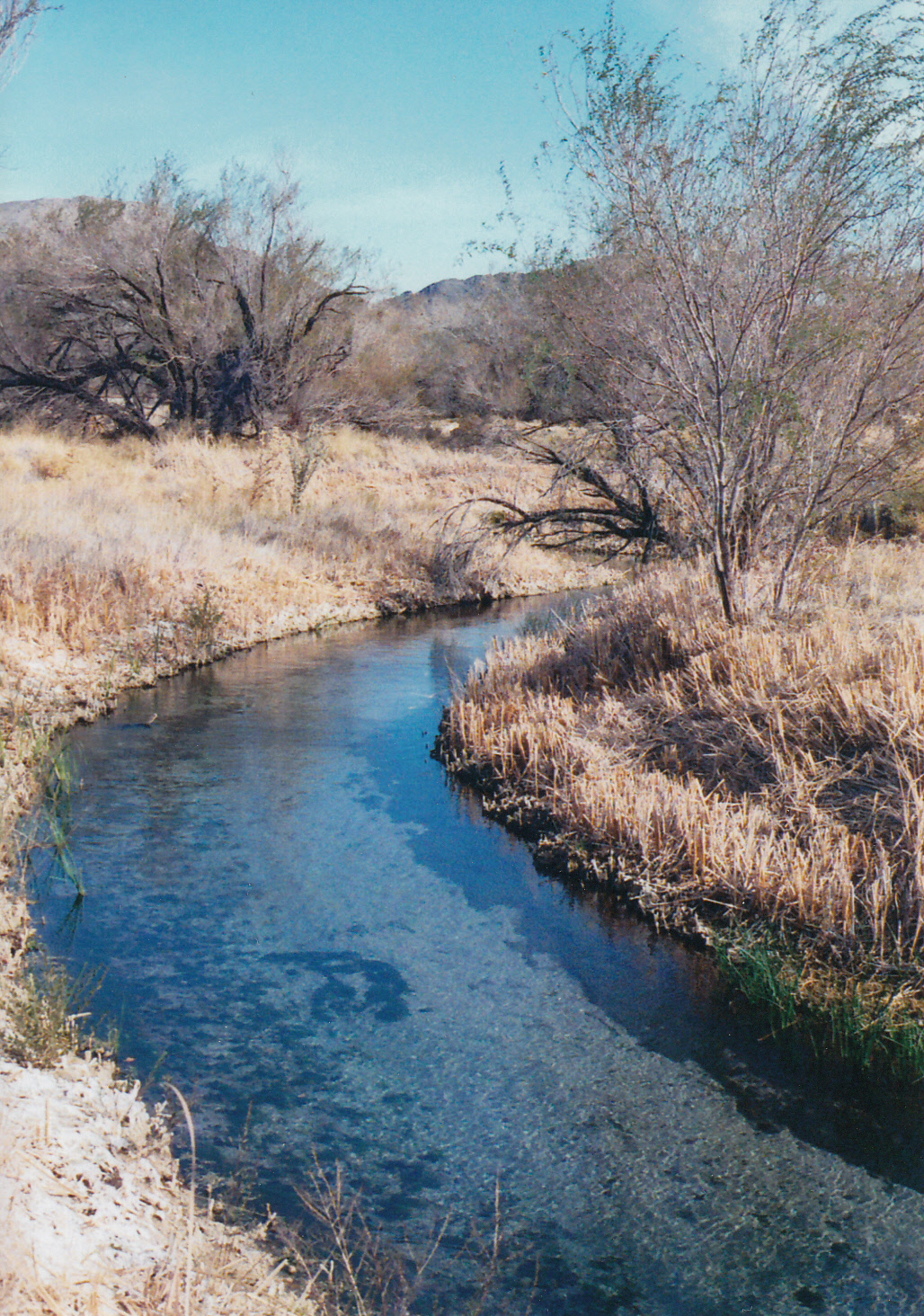
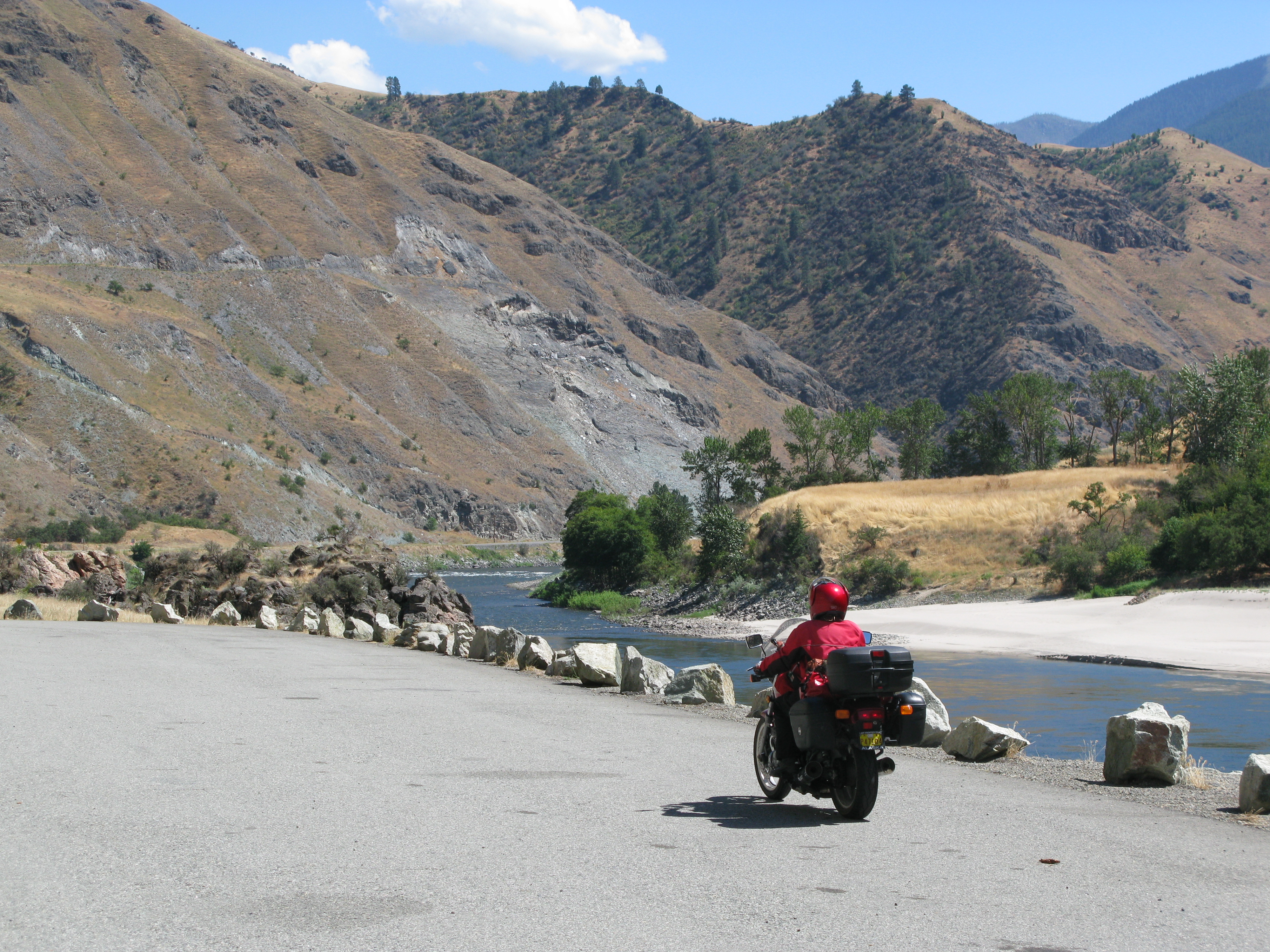
It’s no wonder people pay good money to come trout fishing and river running on Idaho’s wild rivers. The water looks so inviting, sweet and clean and clear.
I paced some rafters floating downstream while Eric Clapton and J. J. Cale sang “Ride the  River.” Presently I pulled off the Banks-Lowman Road above an eddy on the South Fork Payette River, drawn by the seductive lure of the sparkling crystal splash of river. Every detail of the riverbed was visible to the rock-strewn bottom, 30 or more feet down.
But even in August, the water temperature ranges from “bracing” to “bone-chilling.” I plunged in to wash away some road grime; when I hit the cold water, an involuntary scream escaped me and echoed off house-sized boulders that lined the river. In retrospect, the dip was refreshing. At the time, though, it nearly stopped my heart.
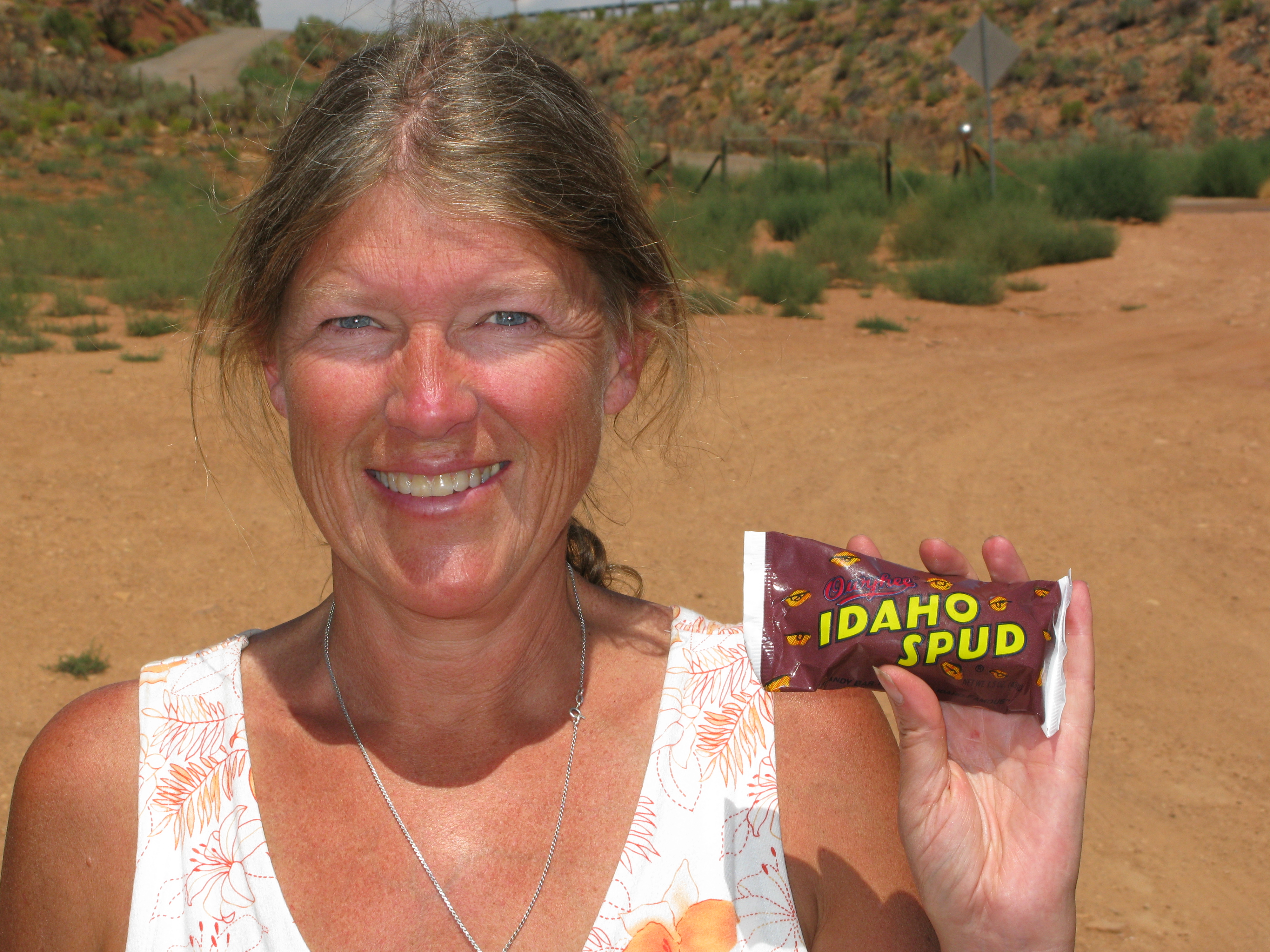
- Chocolate potatoes
Everyone knows that Idaho is famous for its potatoes: red potatoes, white potatoes, sweet potatoes, new potatoes, tater tots, shoestrings, and crinkle fries. 
And then there is the “Idaho Spud,” a marshmallow-filled, chocolate covered, rolled-in-coconut candy bar made by the Owyhee Candy Company. Idaho Spuds are ubiquitous in the Gem State, sold in every convenience store, gift shop, and restaurant. Grocery stores sell them by the case.
I highly recommend consuming two, maybe three, Idaho Spuds at the evening campfire, while singing the chorus from Nirvana: “A mulatto, an albino, a mosquito, palomino.” This will guarantee you’ll end with a smile a long day of carving corners on Idaho’s scenic roads.
- Tall pines
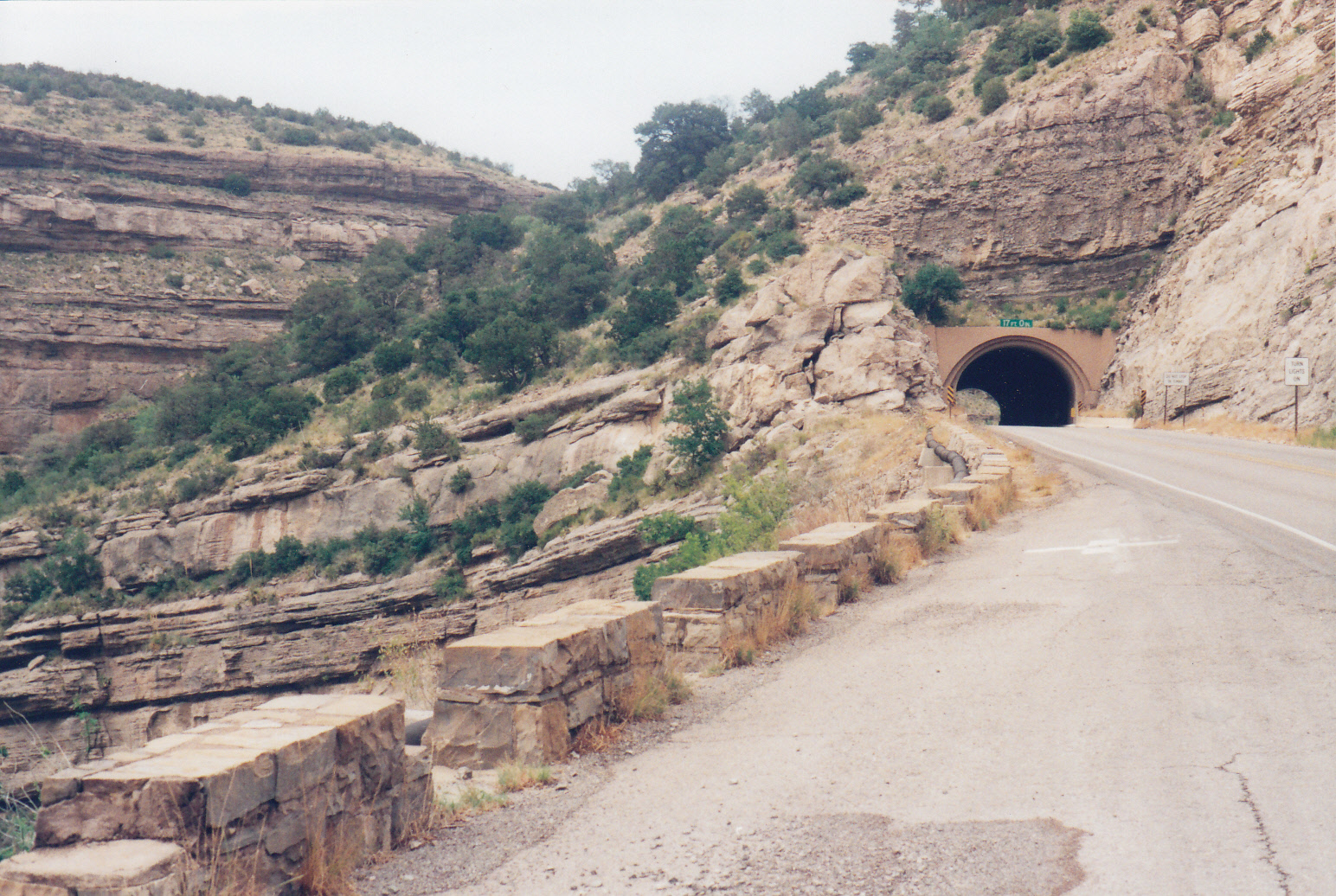
Moving north via the Payette and Little Salmon River canyons, we crossed into a different sort of terrain, not as steep as the central ranges, but every bit as beautiful. Eventually we detoured off Highway 95 to follow the White Pine Scenic Byway. This route snaked up over a heavily forested section of Idaho Panhandle National Forest to the confluence of the St. Joe and St. Maries rivers, traversing through the largest stand of white pine trees in the country.
In clearings along the byway, bucolic farms sat at intervals, river-watered pastures verdant, barns tall and sturdy. I spied an array of farm animals: cows and horses and sheep and llamas. The latter caused me to burst into a chorus of “Ride My Llama.” The song always makes me laugh: who else but Neil Young could come up with lyrics bringing together the Alamo, a guitar-playing man from Mars, and a llama bound for Texarkana?
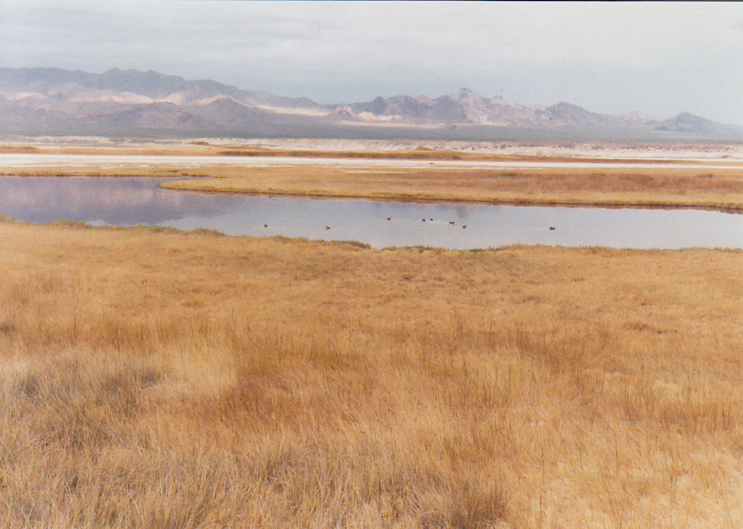
- Deep blue lakes
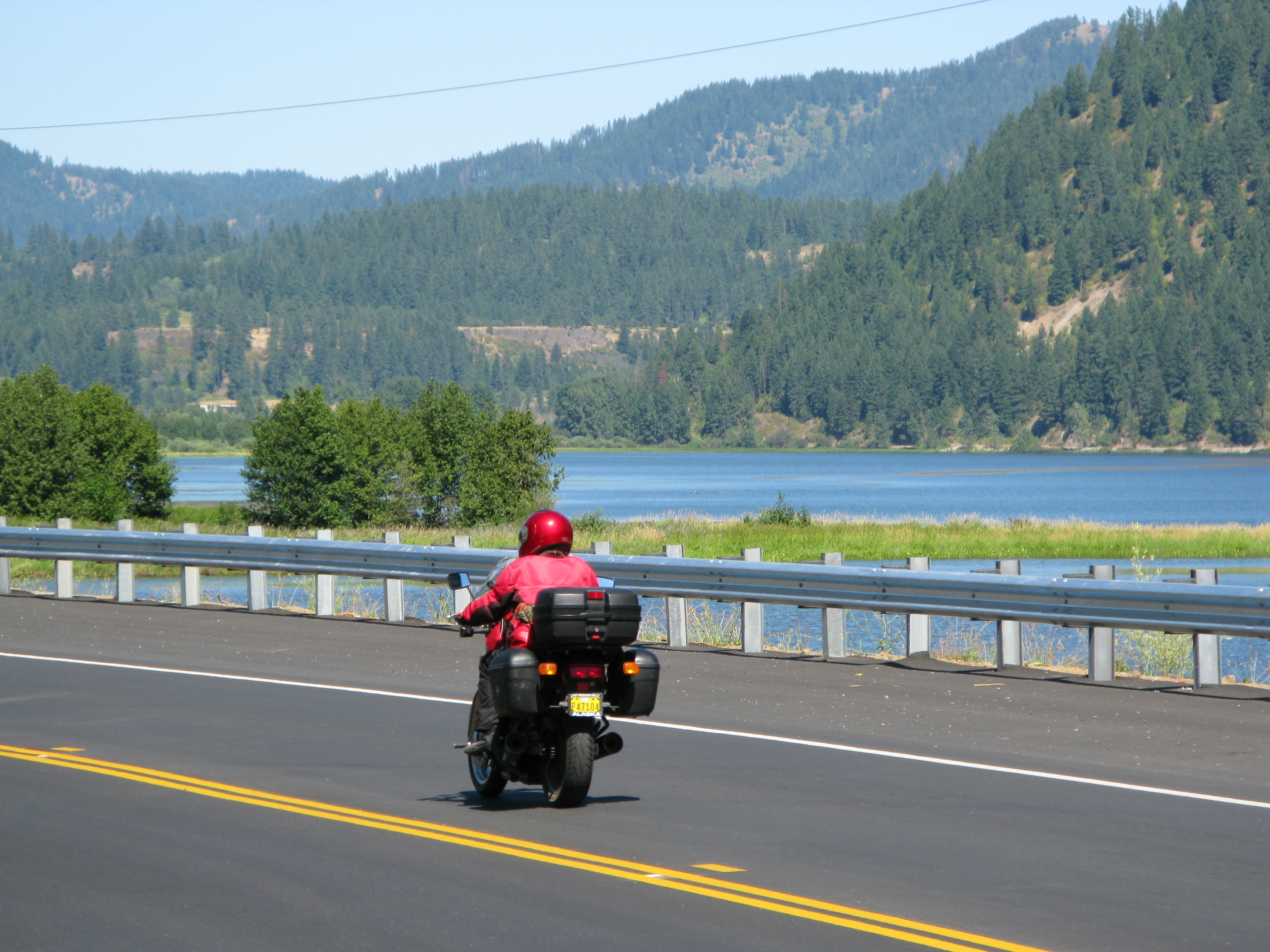
Wild rivers gave way, as we rode north, to more than 60 deep glacier-carved lakes that might give Minnesota a run for its money. We followed one scenic byway for 35 miles along the east shore of Coeur d’Alene Lake, home to bald eagles and the largest population of nesting osprey in the west.
At the end of a long, hot day, Hayburn State Park provided us with a gem of a campground on the lake. The $12 per night fee included a hot shower, a true bargain for the road-weary rider. Heading out along the edge of the tree-lined lake the next morning, I sang along with Bruce Springsteen as he related a tryst with Crazy Janie on the shore of Greasy Lake. The sun glinted off a still, mirrored lake surface broken by clumps of reeds in the shallows and the leap of a trout farther out.
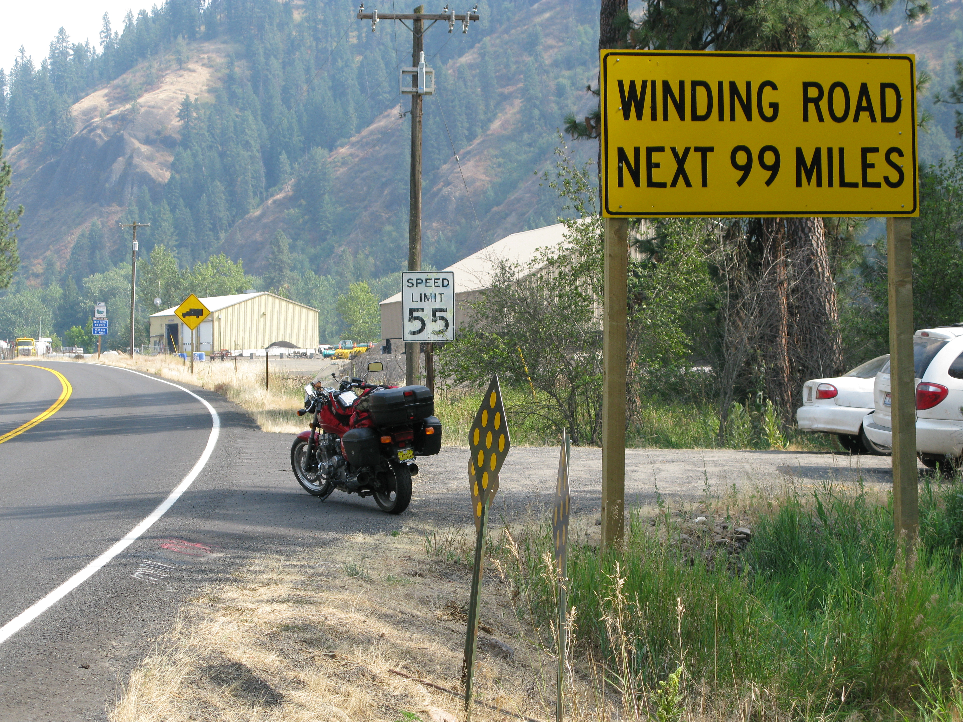
- Lolo Pass road
Few routes are as celebrated as the trail Lewis and Clark followed overland from the east coast to the Pacific in 1804. Designated the “Northwest Passage Scenic Byway,” the longest of Idaho’s scenic byways traces their route, from the Montana border to Clarkston 173 miles west.
The yawning curves of the byway followed the Clearwater and Lochsa rivers. Soft and lazy, they  swooped back and forth in an almost hypnotic rhythm. My curve-carving trance was broken by the occasional lumbering log truck or RV, easily passed, and once by a clump of deer lingering along the shoulder. The choice of soundtrack for this section of the ride was obvious: Sheryl Crow’s “Every Day is a Winding Road.”
- Idaho’s scenic byways
Some of Idaho’s 27 scenic byways, such as the Northwest Passage and Sacajawea Scenic Byways, highlight history through interpretive signs along the way. Others carry the rider past geological marvels like the Payette River Canyon and the City of Rocks. But the majority of the routes are designated scenic byways purely for their aesthetic value. Every one is a gem.
Ah, Idaho, I sighed with pleasure as I entered the top of another steep canyon. A long, live version of the Allman Brothers’ “In Memory of Elizabeth Reed” (arguably the finest combination of blues, jazz, and Southern rock ever recorded) played in my earphones. Another series of sweeping curves came into view on the downhill run alongside a wild clearwater river. Spotless blue skies threw the green-black horizon of evergreen trees into delicious contrast.
There is no question about the number one attraction, for a motorcyclist, in the Gem State. Superb, adrenalin-filled, beautiful: Idaho’s scenic byways describe sweet asphalt perfection.
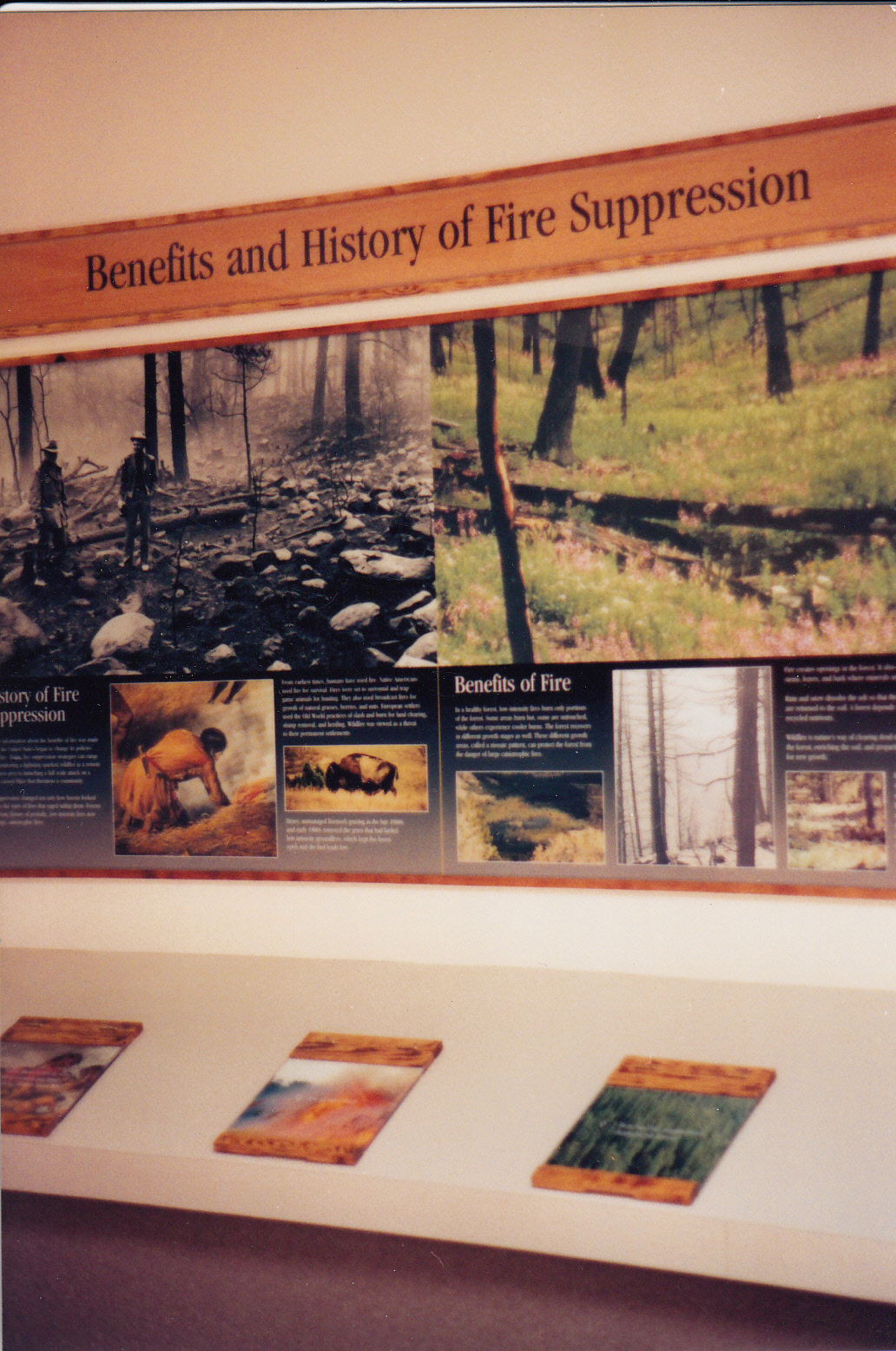
 wind-driven starts from spreading rapidly. Early season fires were suppressed quickly. A handful of lightning-caused starts on the Gila National Forest on May 10 and 11 were all kept to less than five acres. The largest early season fire was McKinney, on State and private lands, which burned 153 acres of grass and shrubs near Tyrone on May 21. With assistance from the Gila contingent of smokejumpers and several loads of retardant, firefighters saved 10 nearby residences.
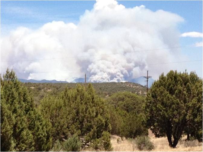 On June 7, five more lightning fires ignited across the forest. Papoose and Indian, close to each other on Wilderness District, both grew to about 80 acres before efforts of several crews, smokejumpers, engines, retardant and helicopter support succeeded in containing them.
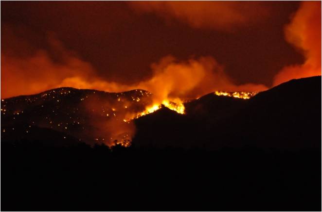 Team. It burned over Emory Pass and threatened the community of Kingston. The town was evacuated for ten days, but efforts by hotshot crews, engines, and retardant kept the fire out of the town. During the next month, the Silver fire jumped Highway 152, burned past the Hillsboro Lookout, and moved into the Aldo Leopold Wilderness. No structures were destroyed.
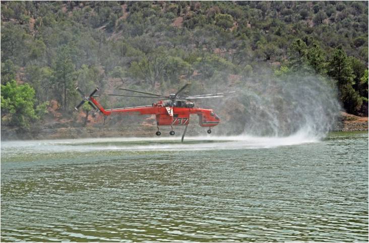 called contained on July 18, it had burned a total of 138,546 acres on the Silver City, Black Range, and Wilderness districts. Besides the two Incident Management Teams and miscellaneous overhead from 19 states, the fire suppression operations utilized 15 Type 1 crews, 18 Type 2 and T2IA crews, 27 engines, 2 dozers, and 7 helicopters. Expanded Dispatch and a Buying Team set up in the Silver City Supervisor’s Office conference room and were operational for 5 weeks. Silver City Dispatch was staffed 24/7 with aircraft and initial attack dispatchers detailed from California, Idaho, Oregon, Colorado, Arizona, and Montana.
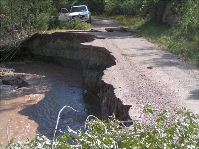 Silver fire scar and the Whitewater-Baldy fire scar of 2012 to flood. On September 15, Mogollon RAWS recorded 9.1 inches of rainfall. Forest roads were damaged, creeks went over their banks, and state highways became clogged with debris. Affected areas included the Emory Pass road, the Gila Cliff Dwellings, the village of Mogollon, the Catwalk, and the area around Snow Lake. Several stranded hikers and hunters were rescued and one man was swept to his death in a flash flood. Rehabilitation of forest roads will be an ongoing project over the winter.